Your shopping cart is empty!
Welcome visitor you can login or create an account.
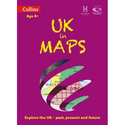
UK in Maps - Collins Primary Atlases
Publisher: HarperCollins Publishers
Author: Stephen Scoffham
$9.24
Publisher:
HarperCollins PublishersAuthor:
Stephen Scoffham This multi-topic atlas of the UK introduces the most relevant topics to reflect the Geography Key Stage 2-3 requirements of the National Curriculum.This collection of maps can be used to investigate different themes and topics. It tells a story in maps, diagrams, charts, words and photographs each of which presents information to compare and examine. Ideal for age 8+, with free downloadable activities.We live on a remarkable planet and this atlas helps us to make sense of the UK today and understand how things came to be as well as how they might change in years to come.Suggested activities on each spread encourage users to explorer further. Explore the range with World in Maps also available.
| ISBN: | 9780008271732 |
| Publisher: | HarperCollins Publishers |
| Imprint: | Collins |
| Published date: | 07 Feb 2019 |
| DEWEY: | 912.41 |
| DEWEY edition: | 23 |
| Language: | English |
| Number of pages: | 56 |
| Weight: | 234g |
| Height: | 309mm |
| Width: | 226mm |
| Spine width: | 3mm |
Write a review
Your Name:Your Review: Note: HTML is not translated!
Rating: Bad Good
Enter the code in the box below:
Discount
$131.92 $127.98


